

Why Alaska's Regions Matter Before You Book
Alaska is not one destination - it is at least four, each with its own climate, infrastructure, landscape, and travel logic. Treating Alaska as a single trip often leads to mismatched expectations: a traveler expecting rainforest and cruise-ship ports may book into the Interior, while someone seeking remote Arctic wilderness may end up in a comparatively accessible coastal town. Understanding the major regions before you plan is the single most useful step you can take.
The state is divided loosely into Southeast Alaska, Southcentral Alaska, the Interior, and the Arctic and Western Alaska. Some frameworks also carve out Southwest Alaska (including the Alaska Peninsula and Kodiak Island) as its own zone. For most American travelers flying from the Lower 48, the starting point is either Juneau (no road access) or Anchorage, and that choice alone shapes the rest of the trip.
Southeast Alaska: The Rainforest Panhandle
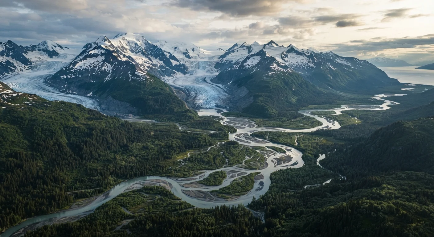
The Southeast - commonly called the Panhandle - is a narrow coastal strip running roughly 500 miles from Ketchikan north to Skagway. It sits within the Tongass National Forest, the largest national forest in the United States, and receives more rainfall than almost anywhere else in the state. Towns like Juneau, Sitka, and Ketchikan are accessible only by sea or air; no road connects them to the Alaska highway system.
This region is the heartland of Alaska's cruise industry. Most large cruise itineraries stop in at least one Panhandle port. Visitors here encounter dramatic fjords, tidewater glaciers (including those at Glacier Bay National Park), temperate rainforest trails, and rich Indigenous Tlingit, Haida, and Tsimshian cultural heritage. Expect mild but wet summers - temperatures in Juneau in July typically range from the low 50s to mid-60s °F.
Southcentral Alaska: The Most Accessible Region
Southcentral is where the majority of Alaska's population lives, anchored by Anchorage - the state's largest city and its main international air hub. The region also includes the Kenai Peninsula, Matanuska-Susitna Valley, Prince William Sound, and Wrangell-St. Elias National Park, the largest national park in the United States.
Tidewater Glacier
A glacier that flows down to the sea and calves icebergs directly into the ocean. Glacier Bay National Park in Southeast Alaska contains some of the most visited tidewater glaciers in North America.
Boreal Forest
A northern forest ecosystem dominated by coniferous trees such as spruce and birch. It covers much of Alaska's Interior and is characterized by long winters and short, warm summers.
Aurora Borealis
Also called the northern lights, this is a natural light display caused by charged particles from the sun interacting with Earth's atmosphere. It is most visible at high latitudes during dark, clear nights.
Panhandle
The narrow southeastern strip of Alaska that borders British Columbia, Canada. It is home to the Tongass National Forest and most of Alaska's cruise-ship port towns.
Backcountry
Remote, undeveloped wilderness areas within or outside national parks that lack maintained trails, facilities, or reliable cell service. Traveling in backcountry areas requires preparation and often a permit.
Iñupiat
An Alaska Native people indigenous to the Arctic and northwestern regions of Alaska. Their communities hold significant cultural, linguistic, and subsistence traditions tied to the Arctic landscape.
For road-trip travelers, Southcentral offers the most practical base. The Seward Highway, Glenn Highway, and Sterling Highway are well-maintained and connect Anchorage to fishing towns, glacier viewpoints, and wildlife-rich landscapes within a few hours' drive. Wildlife commonly seen in this region includes moose, brown and black bears, Dall sheep, and beluga whales in Cook Inlet. Summer temperatures in Anchorage average in the low-to-mid 60s °F, with considerably longer daylight hours than the Lower 48.
The Interior: Wide-Open Wilderness and Denali
The Interior stretches across the broad valleys and boreal forest between the Alaska Range to the south and the Brooks Range to the north. Fairbanks is the region's main city. The landscape here is defined by extreme temperature swings - summers can reach 90 °F, while winters regularly drop below −40 °F. This is one of the premier regions in North America for viewing the northern lights (aurora borealis), typically visible from late August through April on clear nights.
Denali National Park and Preserve is the Interior's signature destination. It protects Denali (formerly Mount McKinley), North America's highest peak at 20,310 feet. Private vehicles are restricted beyond the park's first 15 miles; most visitors travel by park bus to access the backcountry. The park road offers exceptional wildlife viewing, including grizzly bears, wolves, caribou, and moose.
Arctic and Western Alaska: Remote by Design
North of the Brooks Range lies Alaska's Arctic - a vast, roadless tundra accessible almost exclusively by small plane. Communities such as Utqiaġvik (formerly Barrow), Kotzebue, and Nome serve as hubs for adventure travelers and those interested in Iñupiat culture. The Arctic National Wildlife Refuge, one of the most ecologically significant landscapes in North America, lies in the northeastern corner of this region.
Western Alaska, including the Yukon-Kuskokwim Delta and the Bering Sea coastline, is similarly remote. Nome - reachable by air from Anchorage - is the most accessible entry point and is known for gold panning history and strong birding, particularly for Asian vagrant bird species. Travelers visiting Arctic and Western Alaska should plan for limited services, significant logistical costs, and rapidly changing weather. These are not itineraries for first-time Alaska visitors traveling alone without local expertise.
Travel conditions, infrastructure, and access options in Alaska can change. Always verify current transportation options, park regulations, and entry requirements with official state, federal, and local sources before finalizing travel plans.